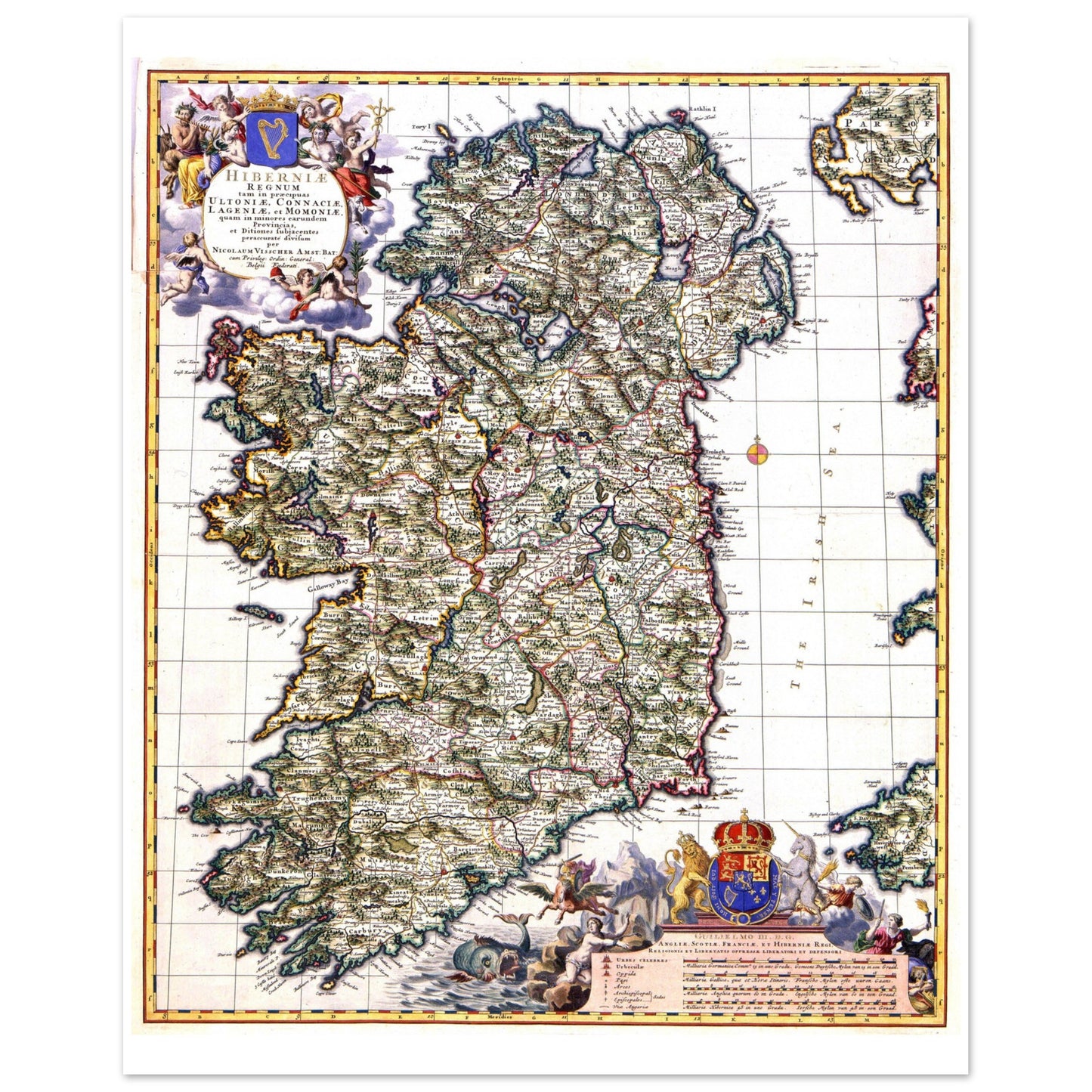
Map of Ireland published by Nicolaes Visscher II about 1689
Map of Ireland published by Nicolaes Visscher II about 1689
Couldn't load pickup availability
Discover the Elegance of Ireland's Past with This Timeless Reproduction Print
Immerse yourself in the rich history and artistry of the late 17th century with this stunning reproduction of the Map of Ireland by Nicolaes Visscher II, originally published around 1689. A masterpiece of cartography, this map beautifully captures Ireland as it was during a pivotal moment in history, celebrating the coronation of King William III and Queen Mary II as rulers of England, Scotland, and Ireland.
Every detail of this vintage map reflects the meticulous craftsmanship of Visscher II, a renowned Dutch cartographer. From its ornate borders to the delicate hand-drawn topography, this map is both an artistic treasure and a historical artifact. The dedication to stadholder William III and Mary Stuart underscores its cultural and political significance.
Key Features:
- Authentic Reproduction: Faithfully restored to highlight the exquisite details and artistry of the original 1689 map.
- Premium Quality: Printed on high-grade, archival-quality paper to ensure vibrant colors and long-lasting durability.
- Timeless Design: Perfect for history enthusiasts, art collectors, or anyone seeking to add a touch of sophistication to their home or office.
Display a piece of Ireland’s storied past with this remarkable print that blends history, art, and timeless beauty. It’s more than a map—it’s a conversation piece, a window into a bygone era, and a celebration of Irish heritage.
Order your Map of Ireland by Nicolaes Visscher II reproduction print today and bring the elegance of 17th-century cartography into your life.


